

Mumbai Travel Guide
Are you ready to explore the vibrant city of Mumbai? With its population of over 18 million people, Mumbai is a bustling metropolis that never sleeps.
From iconic attractions like the Gateway of India to mouthwatering street food stalls, this travel guide will take you on an unforgettable journey through the heart of Mumbai.
Get ready to immerse yourself in the rich culture, indulge in delicious cuisine, and experience the electrifying nightlife.
Get ready for freedom and adventure in Mumbai!
Getting to Mumbai
If you’re planning to visit Mumbai, the easiest way to get there is by taking a flight from New Delhi. Mumbai is served by Chhatrapati Shivaji Maharaj International Airport, one of the busiest airports in India. Once you arrive at the airport, there are several public transportation options available to help you explore this vibrant city.
One popular mode of transport in Mumbai is the local train system, known as ‘Mumbai locals.’ These trains connect different parts of the city and are a convenient option for traveling within Mumbai. The local train network covers popular tourist routes like Churchgate to Virar on the Western line and CST (Chhatrapati Shivaji Terminus) to Kalyan on the Central line.
Another public transportation option is the bus system. The Brihanmumbai Electric Supply and Transport (BEST) operates a vast network of buses that ply through various parts of Mumbai. Buses can be crowded during peak hours but offer an affordable way to get around.
For shorter distances, auto-rickshaws and taxis are readily available. They can be hailed from anywhere in the city and provide a flexible means of transportation.
No matter which mode of public transportation you choose, exploring Mumbai’s bustling streets will give you a true taste of its diverse culture and rich history.
Exploring Mumbai’s Attractions
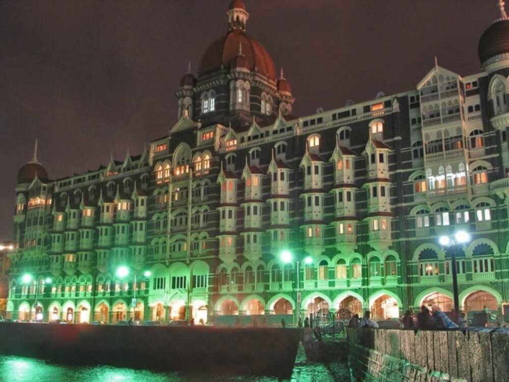
When exploring Mumbai’s attractions, don’t miss the famous Gateway of India. This iconic monument is a must-visit for anyone wanting to delve into the city’s rich history. Built in 1924, it stands tall and proud overlooking the Arabian Sea. As you approach, you’ll be captivated by its majestic architecture and intricate carvings.
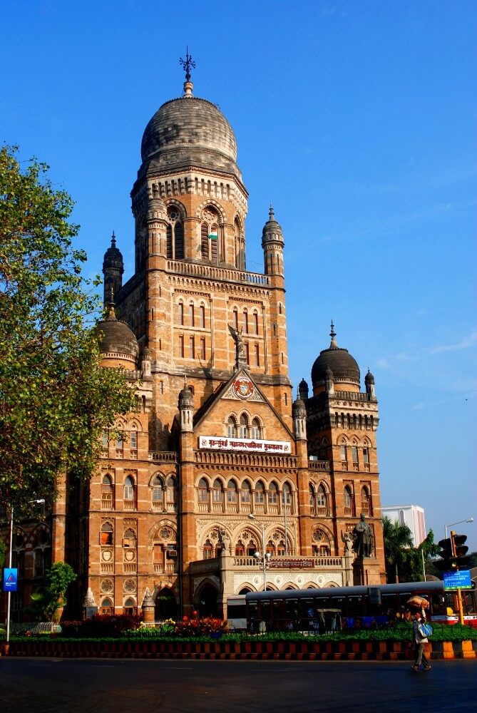
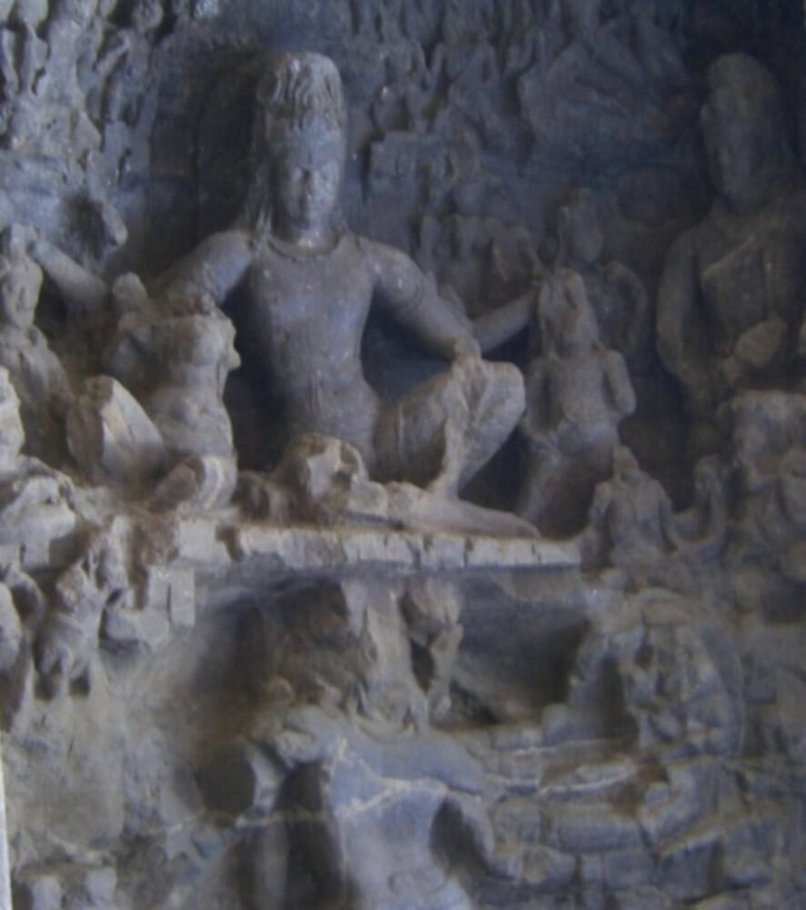
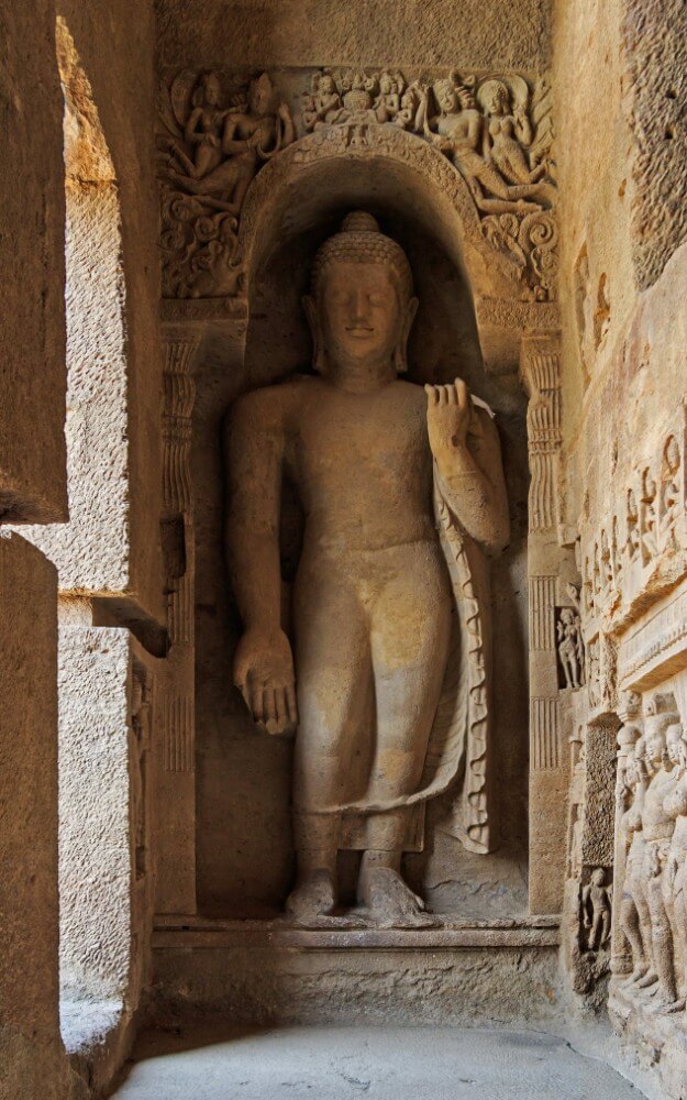
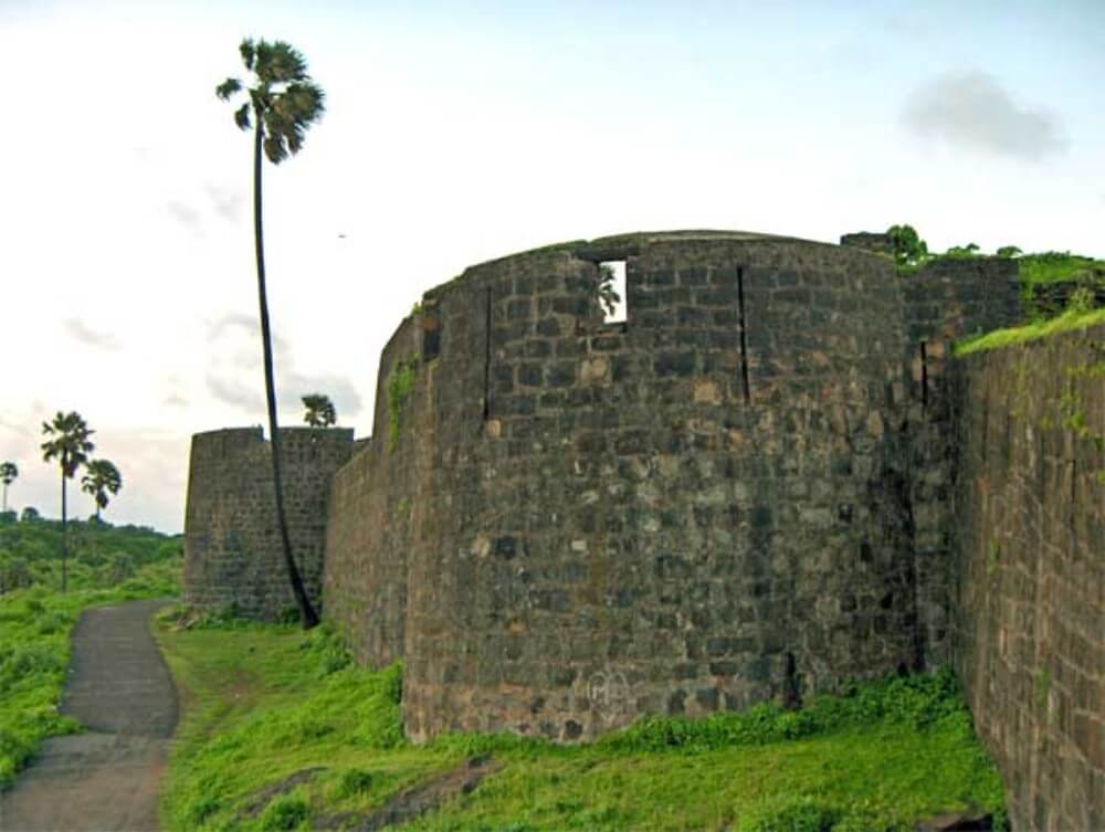
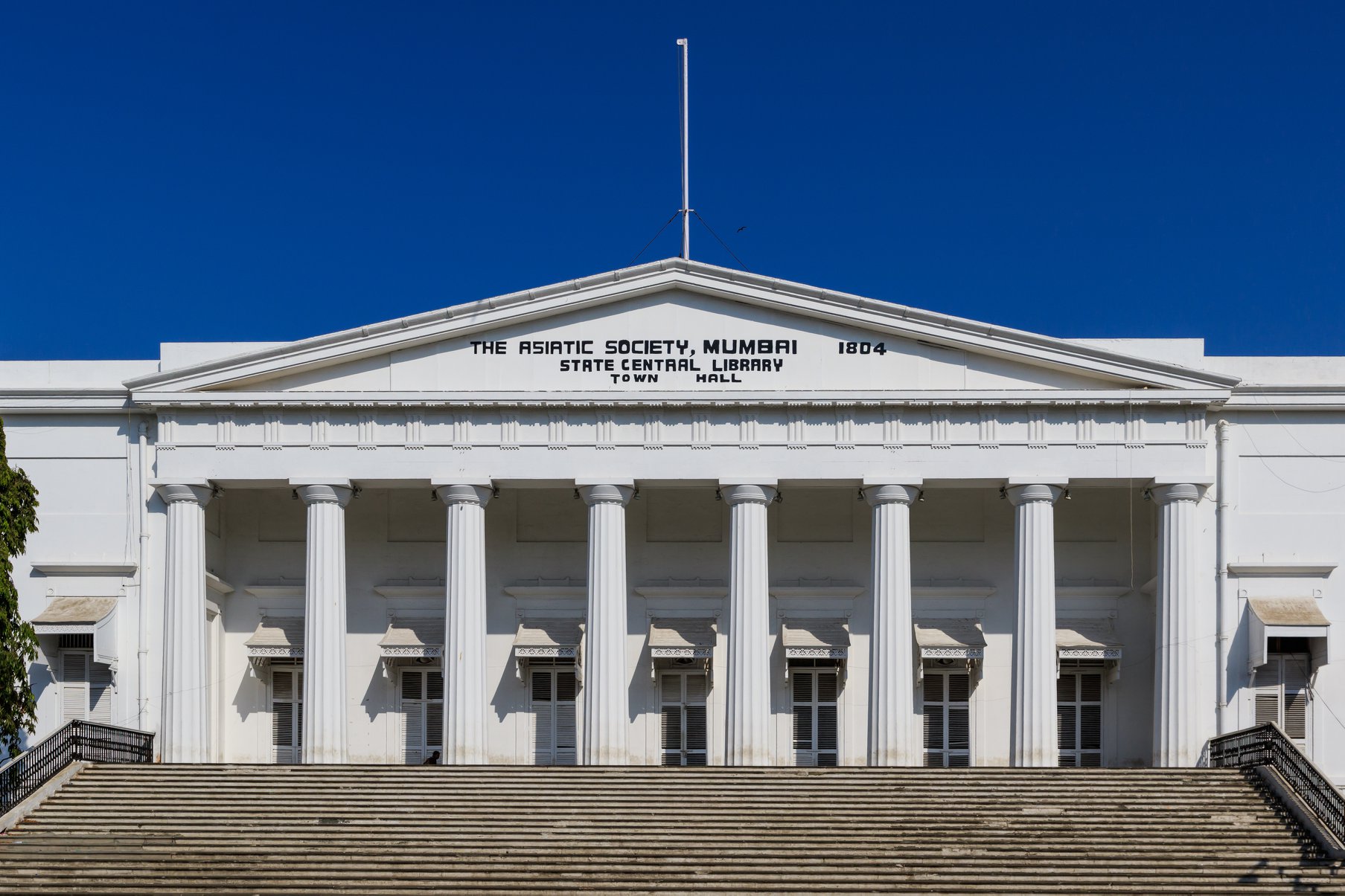
Once you’ve taken in the grandeur of the Gateway of India, make sure to explore Mumbai’s other historical sites. The Chhatrapati Shivaji Terminus is a UNESCO World Heritage Site that showcases Victorian Gothic architecture at its finest. The Elephanta Caves, located on an island just off the coast, are home to ancient rock-cut temples dating back to the 5th century.
After immersing yourself in Mumbai’s history, it’s time to indulge your taste buds with some street food. Mumbai is renowned for its delectable snacks and dishes served on every corner. From pav bhaji (a spicy vegetable curry served with bread) to vada pav (a deep-fried potato dumpling sandwich), there’s something for everyone. Don’t forget to try the famous Bombay sandwich – a mouthwatering combination of chutney, vegetables, and cheese.
Best Places to Eat in Mumbai
To experience the best of Mumbai’s cuisine, head to the city’s vibrant street food stalls and indulge in mouthwatering dishes like pav bhaji and vada pav. These iconic street food specialties are a must-try for any food lover visiting Mumbai.
But the culinary delights don’t stop there! Mumbai is also known for its diverse food festivals and events that showcase the city’s rich gastronomy. From the Kala Ghoda Arts Festival to the Mumbai Street Food Festival, there are plenty of opportunities to sample a wide variety of flavors from different regions of India.
Here are four street food specialties you should definitely try during your visit to Mumbai:
- Bhel Puri: A popular savory snack made with puffed rice, sev (fried noodles), chutneys, and various spices.
- Dahi Puri: Similar to Bhel Puri but topped with yogurt, giving it a refreshing twist.
- Misal Pav: A spicy curry made with sprouted lentils, topped with farsan (crunchy mix) and served with buttered bread rolls.
- Sev Puri: Another delicious snack made with crispy puris (deep-fried bread), chutneys, onions, tomatoes, and sev.
Whether you’re exploring local street food stalls or attending one of Mumbai’s many food festivals, you’ll be spoiled for choice when it comes to satisfying your taste buds. So go ahead, embrace your freedom and embark on a culinary adventure through the streets of Mumbai!
Shopping in Mumbai
Are you ready to shop till you drop in Mumbai? Get ready to explore the best shopping areas, local markets, and bazaars that this vibrant city has to offer.
From high-end malls to bustling street markets, Mumbai has something for everyone. Whether you’re looking for traditional Indian clothing, unique handicrafts, or trendy fashion accessories, these shopping destinations will leave you spoilt for choice.
Best Shopping Areas
If you’re looking for the best shopping areas in Mumbai, head to Colaba Causeway and Linking Road. These famous street markets offer a vibrant and diverse shopping experience that is sure to satisfy your retail cravings.
Wander along Colaba Causeway and immerse yourself in its bustling atmosphere, where you’ll find everything from trendy clothing to unique handicrafts. And don’t forget to bargain for the best prices!
If luxury shopping is more your style, then head to the city’s upscale malls like High Street Phoenix and Palladium Mall. Here, you can indulge in international brands, designer labels, and exquisite dining options.
Whether you prefer the charm of street markets or the sophistication of luxury malls, Mumbai has it all for every shopaholic out there.
- Colaba Causeway: Trendy clothing, unique handicrafts
- Linking Road: Fashionable accessories, footwear
- High Street Phoenix: International brands, designer labels
- Palladium Mall: Upscale shopping, exquisite dining options
Local Markets and Bazaars
Check out the local markets and bazaars for a wide range of traditional goods, from spices to textiles, that will immerse you in the vibrant culture of Mumbai.
The city is famous for its bustling street markets where you can find everything your heart desires. As you stroll through the colorful lanes, the aroma of street food options will tempt your taste buds. From delectable pani puri to mouthwatering kebabs, there’s something for everyone. Don’t forget to try the iconic vada pav, a spicy potato fritter sandwiched between soft buns – it’s a true Mumbai delicacy.
And when it comes to shopping, bargaining in local markets is a must. The enthusiastic vendors are always ready for some friendly haggling, so be prepared to negotiate and score great deals on unique items.
Soak up the energy and excitement as you explore these markets; they truly capture the essence of Mumbai’s lively spirit.
Mumbai’s Nightlife and Entertainment
Mumbai’s nightlife offers a vibrant and diverse range of entertainment options for visitors. Whether you’re looking to dance the night away or relax with a drink in hand, there is something for everyone in this bustling city.
Here are some must-visit spots to experience the best of Mumbai’s nightlife:
- Rooftop bars: Take in breathtaking views of the city skyline while sipping on your favorite cocktail at one of Mumbai’s rooftop bars. These trendy venues offer a unique and unforgettable experience, with live music, delicious food, and an electric atmosphere.
- Live music venues: Mumbai is known for its thriving music scene, and you can catch talented local bands and renowned artists performing live at various venues across the city. From intimate jazz clubs to larger concert halls, there is always a show happening that will leave you tapping your feet and singing along.
- Nightclubs: If dancing is your thing, then Mumbai has got you covered. The city boasts a number of high-energy nightclubs where you can groove to the latest beats spun by top DJs. Get ready to let loose on the dance floor and party until the early hours of the morning.
- Cultural performances: For those seeking a more cultural experience, Mumbai offers traditional dance performances like Kathakali or Bharatanatyam. Immerse yourself in India’s rich heritage through these captivating shows that showcase the country’s artistic talent.
No matter what kind of nightlife experience you’re after, Mumbai has it all. So go ahead, embrace your freedom, and explore the exciting entertainment options that await you in this dynamic city.
Tips for a Memorable Mumbai Experience
To make your Mumbai experience memorable, don’t forget to try the delicious street food that is renowned for its flavors and variety. Mumbai’s street food scene is an integral part of its vibrant culture, offering a culinary journey like no other.
From the iconic Vada Pav, a spicy potato fritter sandwiched in a bun, to the mouthwatering Pav Bhaji, a medley of vegetables served with buttery bread rolls, you’ll find an array of delectable treats that will tantalize your taste buds.
One of the best ways to immerse yourself in Mumbai’s street food culture is by visiting its bustling food markets and stalls. Crawford Market and Mohammad Ali Road are popular destinations where you can sample local delicacies such as Pani Puri, Dahi Puri, and Bhel Puri. These savory snacks are bursting with flavors and textures that will leave you craving for more.
In addition to indulging in Mumbai’s street food delights, make sure to plan your visit during one of the city’s cultural festivals. Ganesh Chaturthi is one such festival celebrated with great enthusiasm throughout the city. Witness grand processions carrying beautifully adorned idols of Lord Ganesha while savoring traditional sweets like Modak.
Why you should visit Mumbai
So, Mumbai offers a vibrant and diverse experience for travelers. From the bustling streets of Colaba to the iconic Gateway of India, there is no shortage of attractions to explore.
Don’t miss out on trying the delectable street food at Juhu Beach or indulging in a traditional Maharashtrian meal at Britannia & Co Restaurant.
And when night falls, immerse yourself in Mumbai’s lively nightlife scene, with clubs like Trilogy and Kitty Su offering unforgettable experiences.
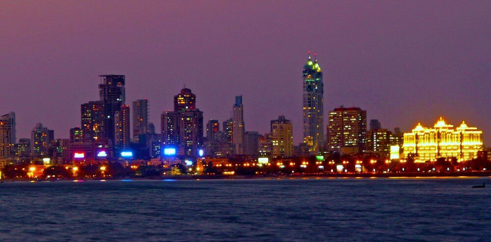
One hypothetical example is strolling along Marine Drive at sunset, feeling the cool breeze and being captivated by the stunning view of the city skyline – it’s a moment that will stay with you forever.
So pack your bags and get ready for an unforgettable adventure in Mumbai!


